


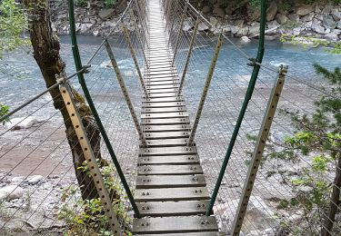
12.6 km | 21 km-effort


User


FREE GPS app for hiking
 SityTrail
IGN / Geographical institutes
SityTrail World
The world is yours!
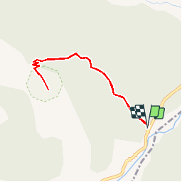
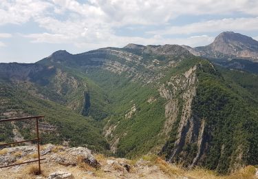
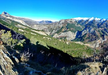
Trail Walking of 3.9 km to be discovered at Provence-Alpes-Côte d'Azur, Alpes-de-Haute-Provence, La Robine-sur-Galabre. This trail is proposed by lviallet.
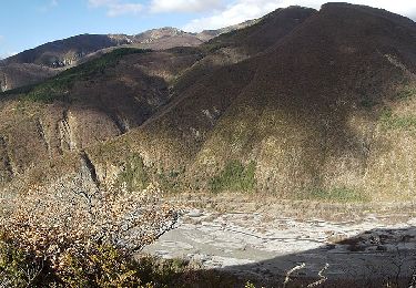
Admirez sur le site même de sa découverte le fossile d'un grand reptile marin mesurant plus de 4 mètres et âgé de 183 millions d'années : l'ichtyosaure.
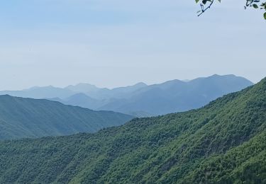
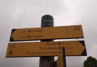
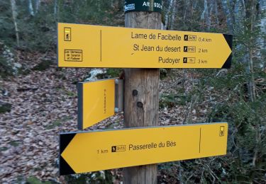
Depuis le parking aménagé, le sentier longe du ravin de bélier avant de s'élever dans un versant boisé de chênes pubescents, puis de hêtres jusqu'au col du Jas. Le site se situe 200 mètres en contrebas après le col.

Walking
Walking
On foot
Walking
Walking
Walking
Walking
Walking
Walking